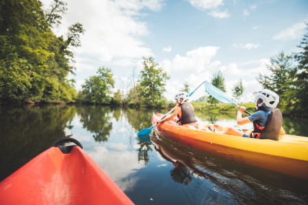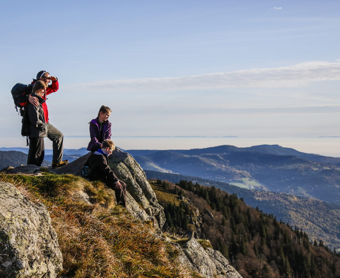


Spécial familles
-
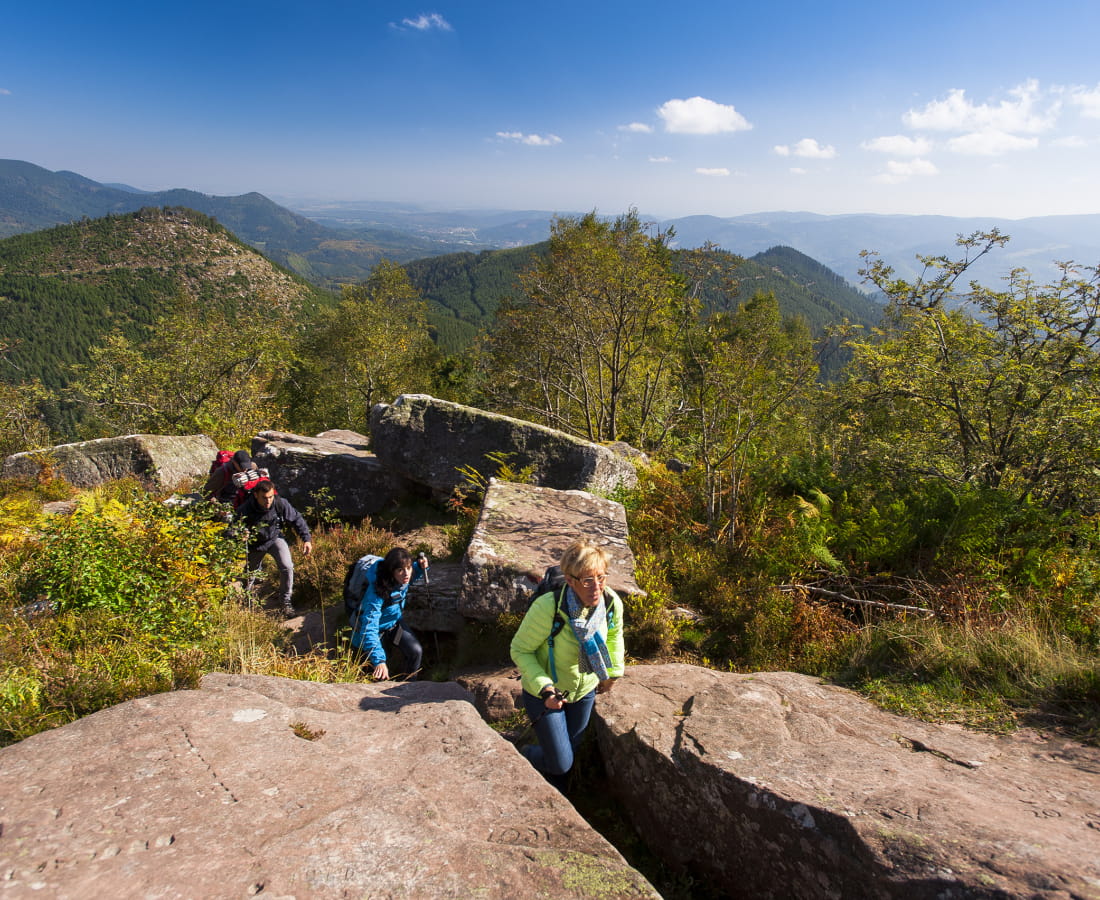
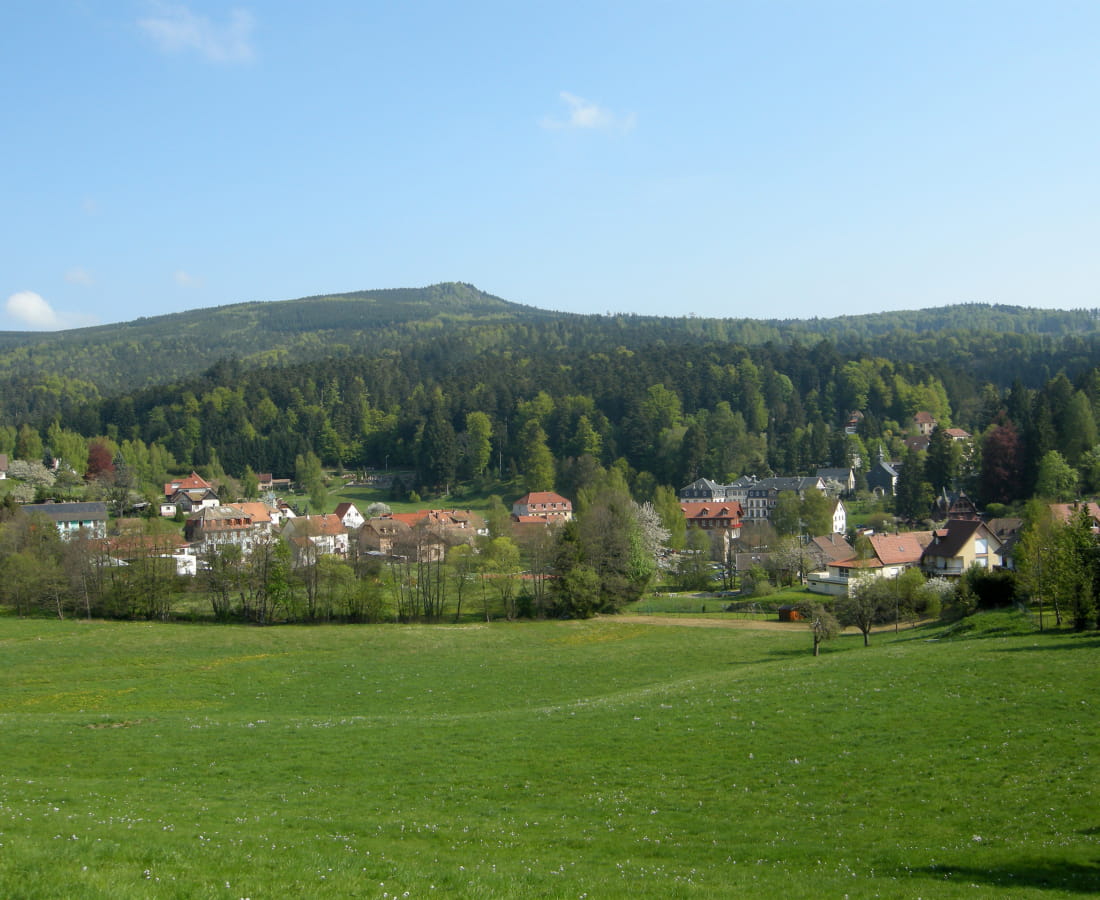
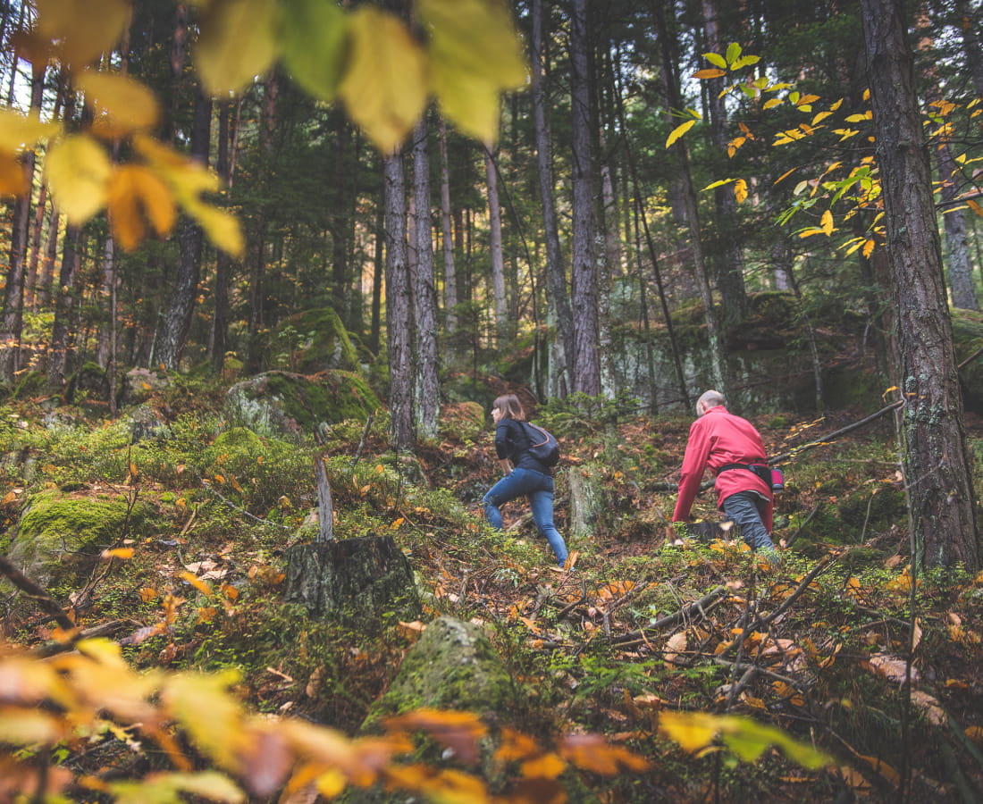
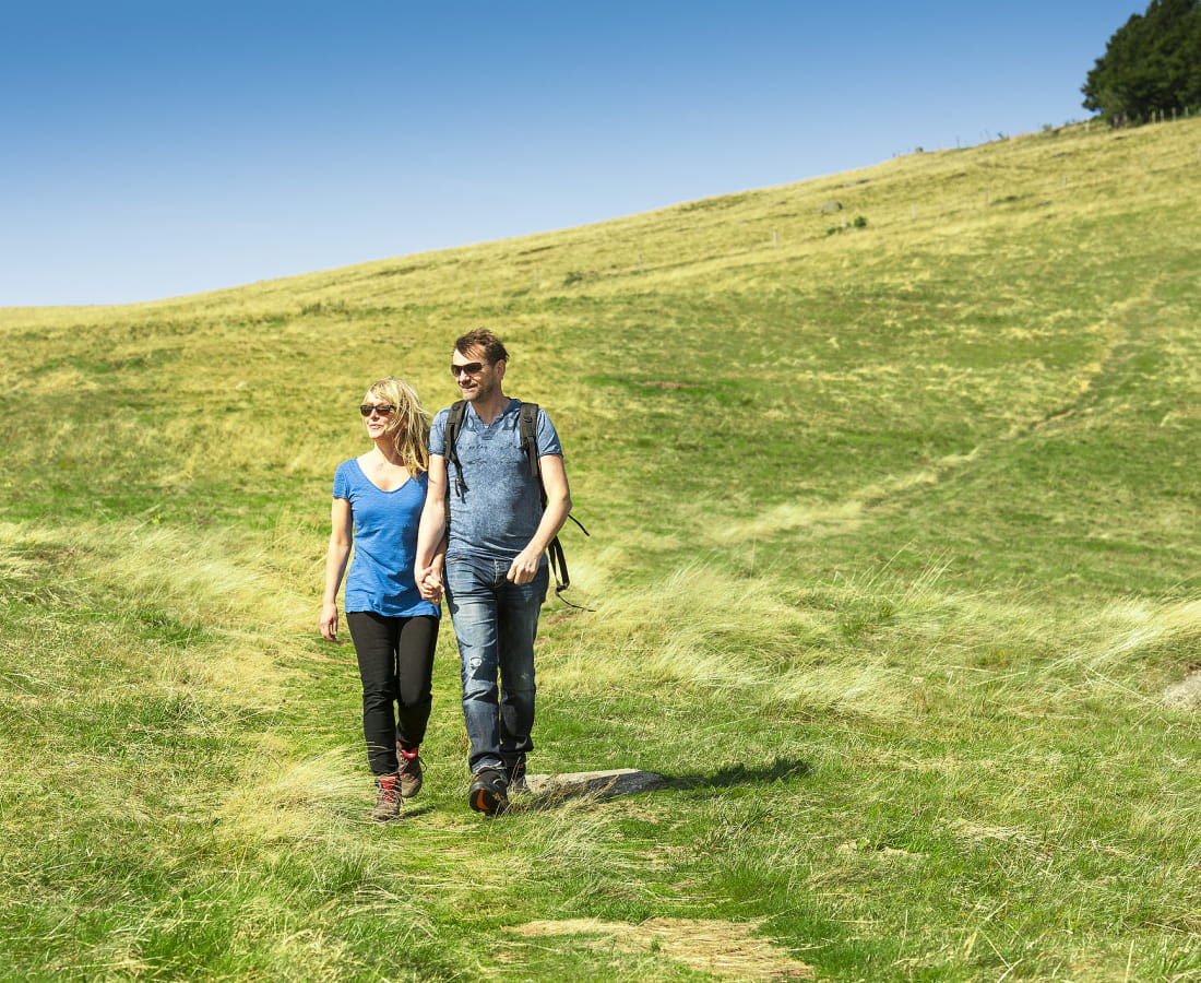
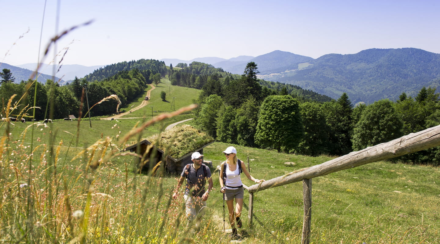
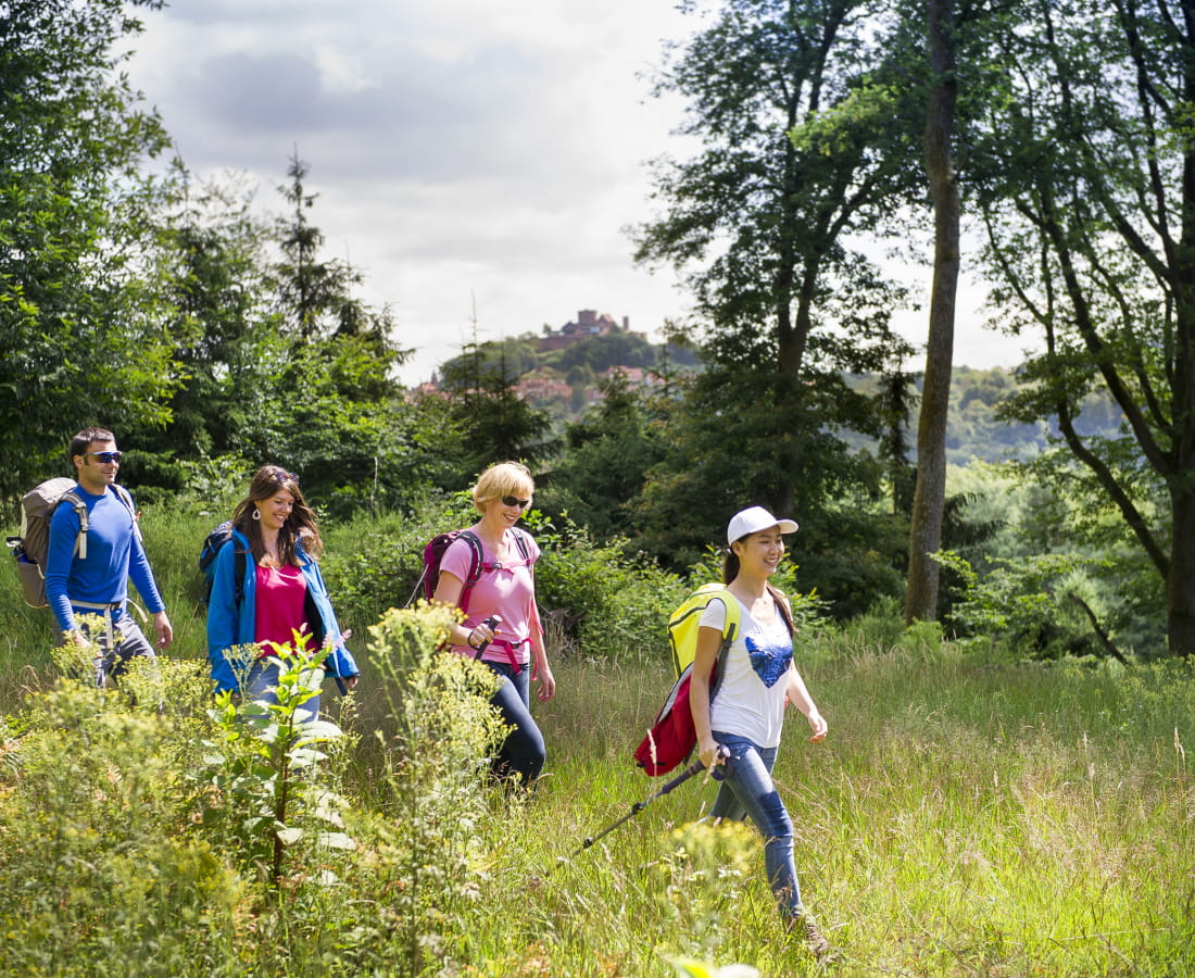
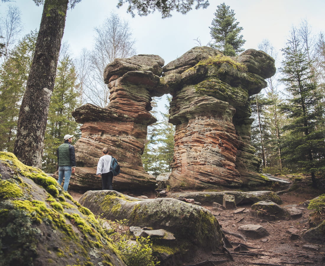
The Traversée du Massif des Vosges is of medium difficulty, with some stages even difficult. You need to take into account the daily distance to be covered and the positive difference in altitude.
-
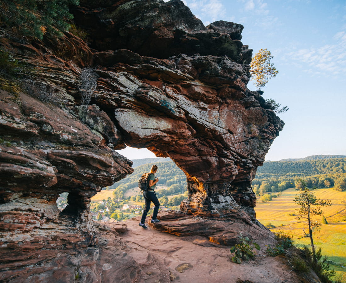
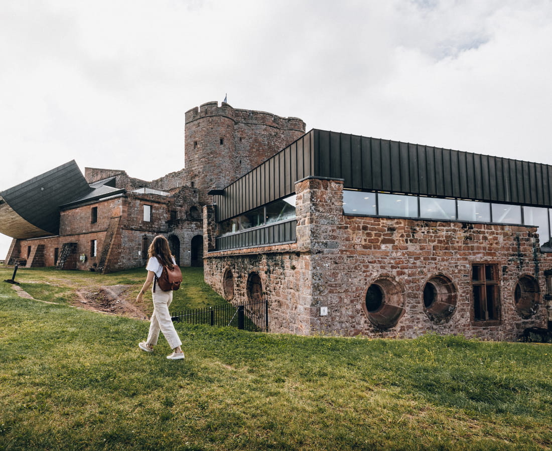
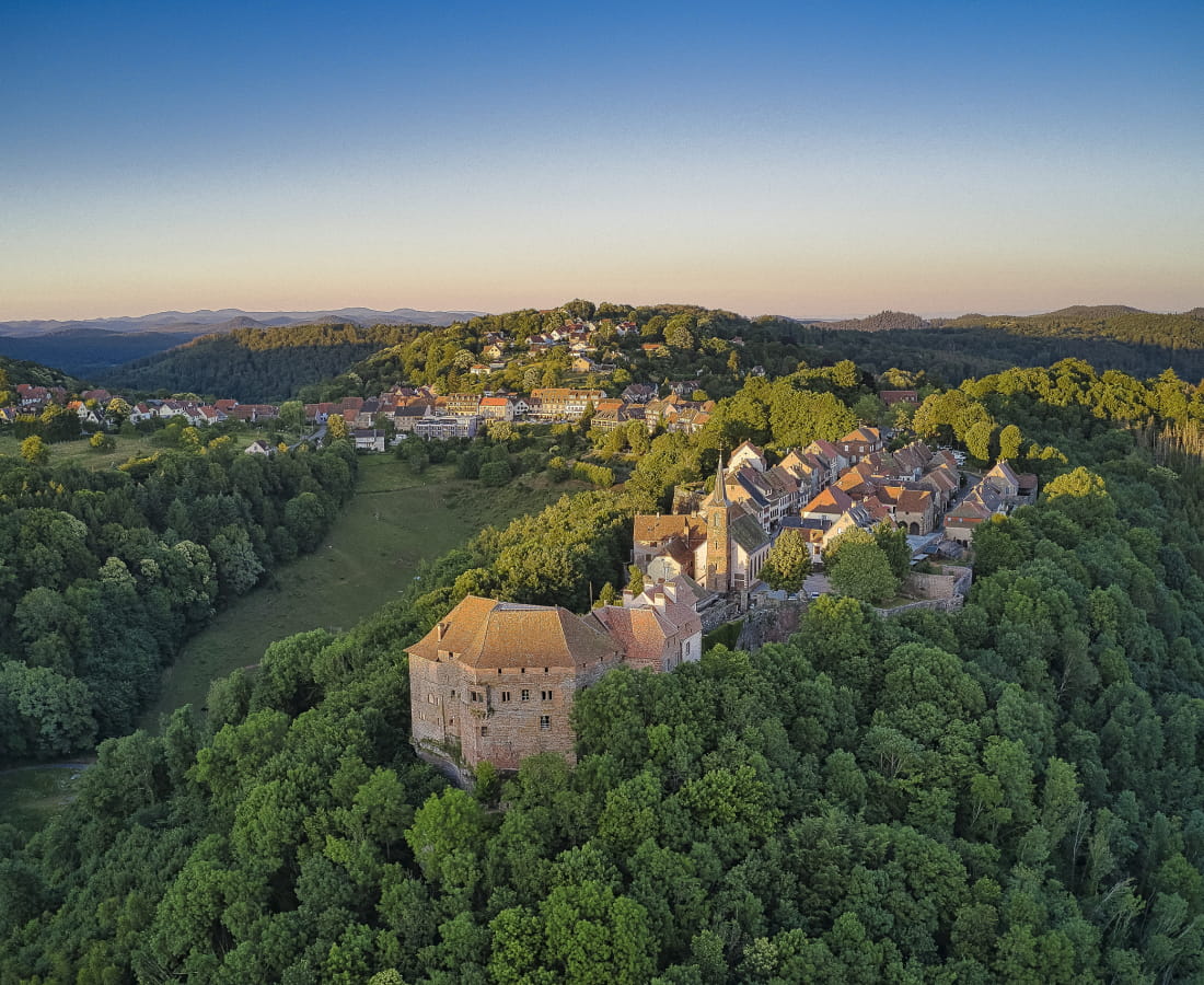
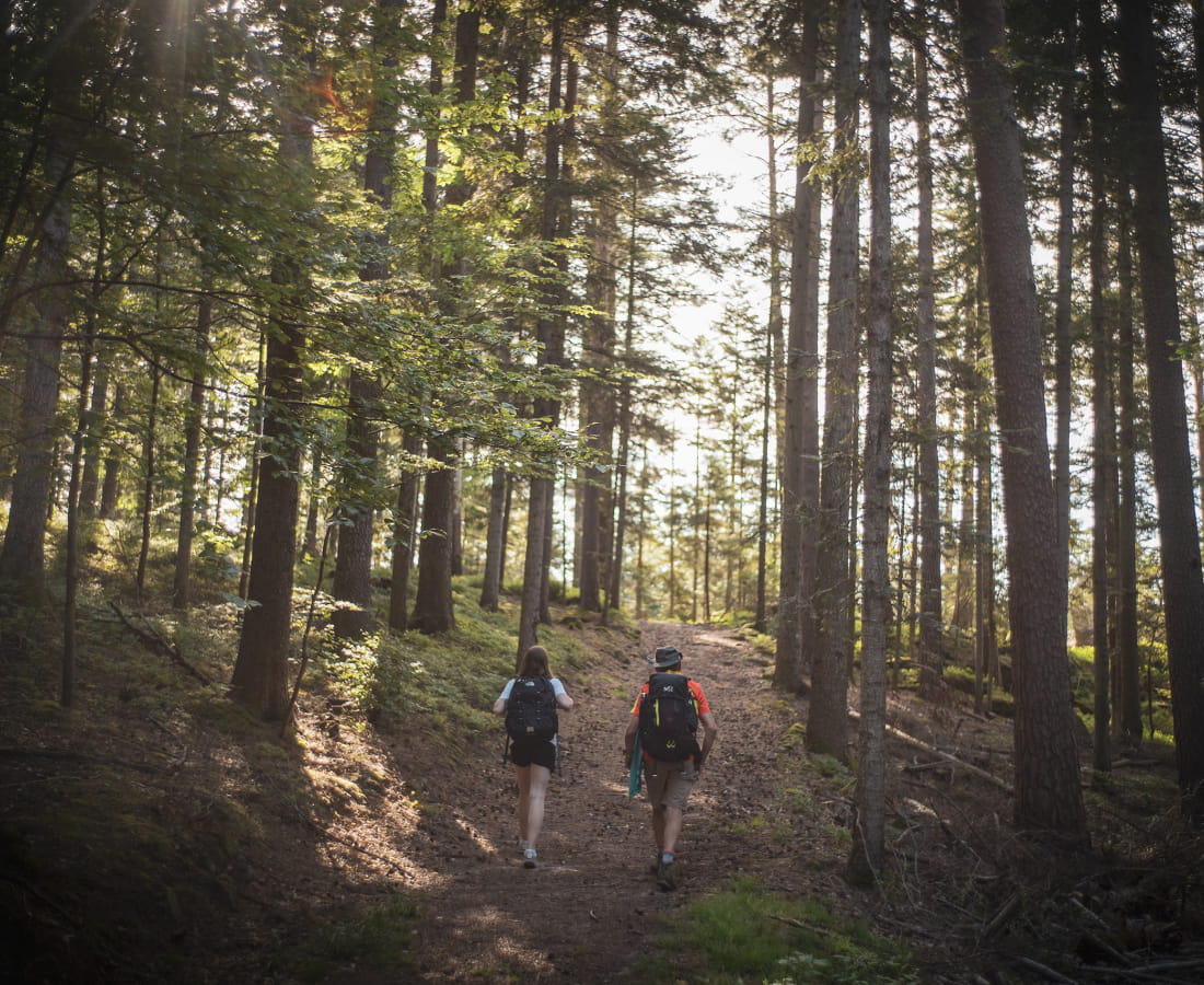
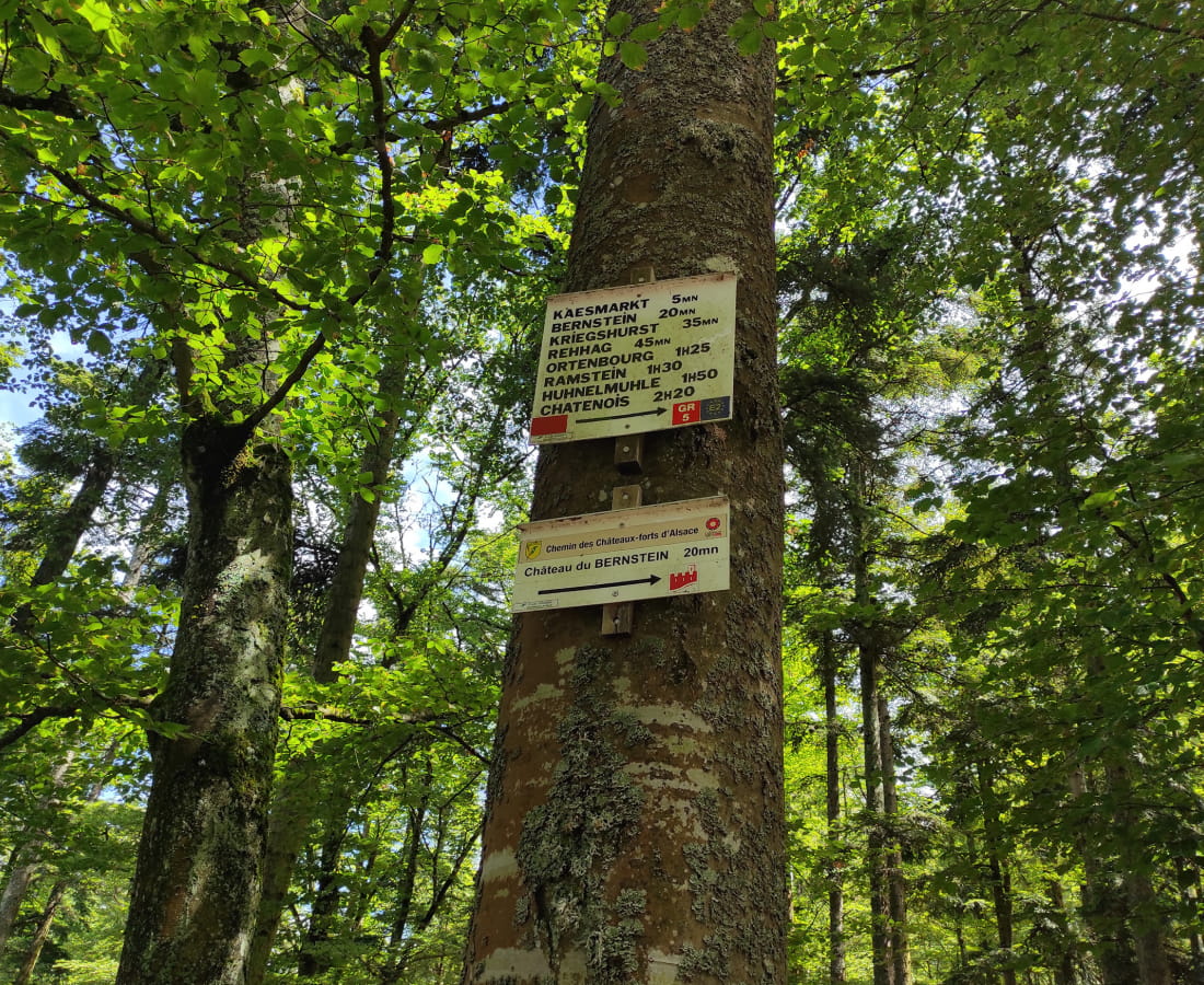
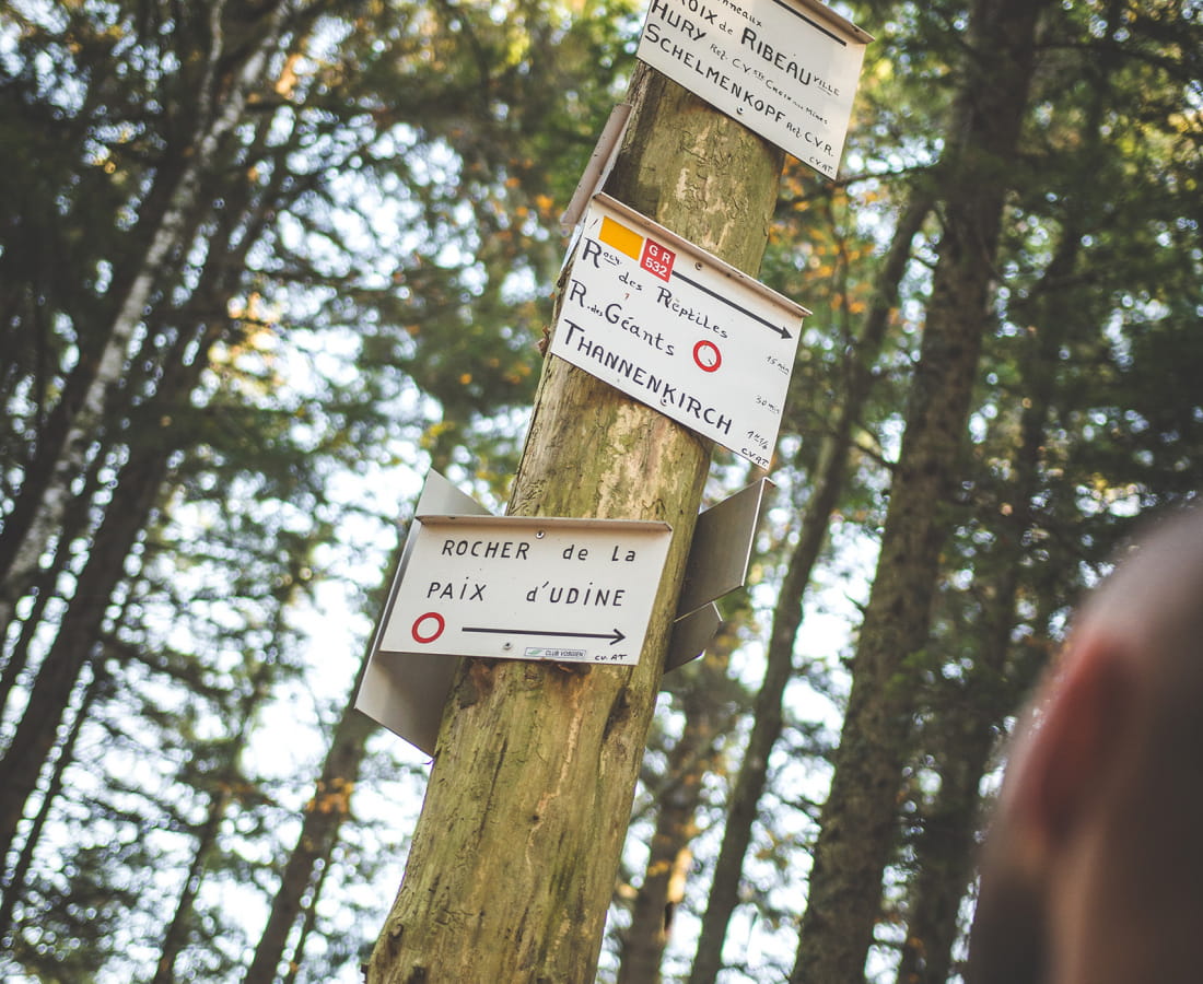
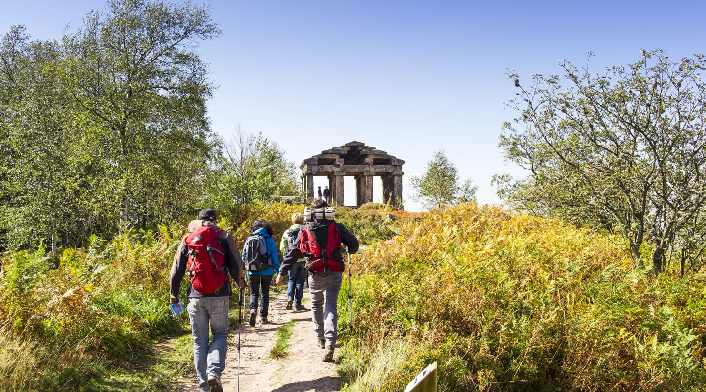
This is the GR® 5 (sentier de Grande Randonné) which crosses the Vosges massif. The GR® 5 is signposted as such at the Donon. In the northern part, the GR® 53 is signposted.
-
If you want to do the Traversée du Massif des Vosges in its entirety, you should allow around twenty days. The route is made up of 19 stages, 16 of which are in the Grand Est region, which you can cover in their entirety or in sections, taking advantage of the intermediate stages. You should therefore allow between 16 and 18 days to complete the route in the Grand Est.
-
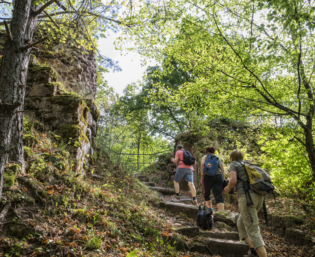
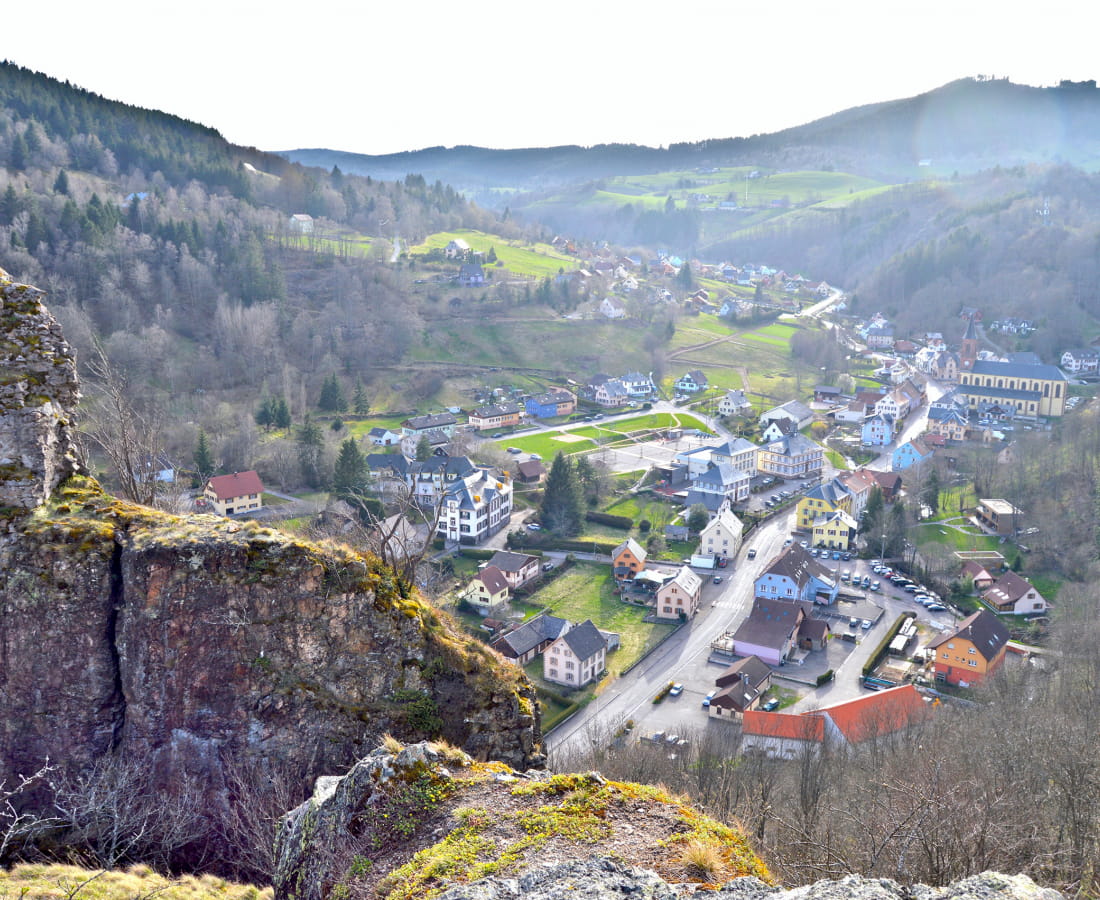
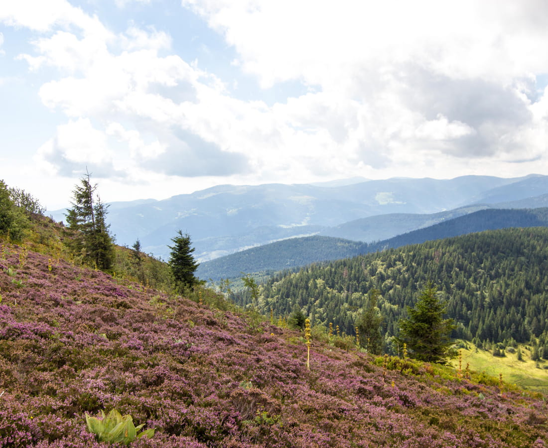
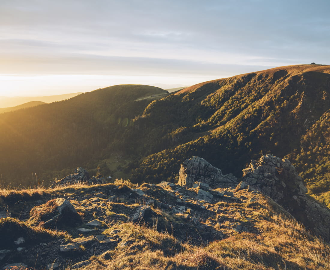
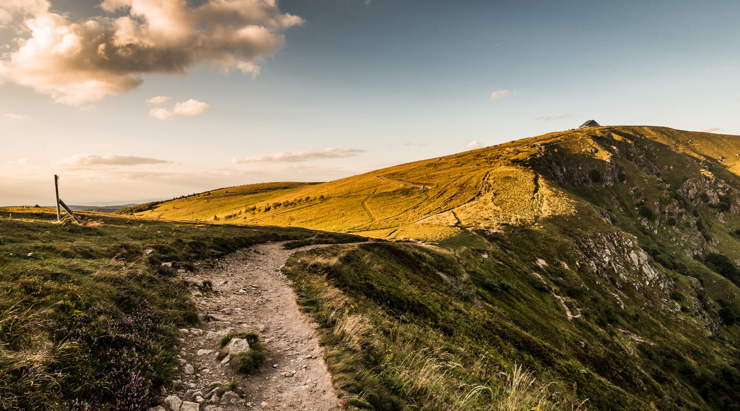
The Traversée du Massif des Vosges requires good physical condition and a good level of hiking experience. Some of the stages are long and/or have a significant climb. While the relief is more modest in the northern part of the route, the constant passage from one valley to another adds a certain degree of difficulty. Conversely, the route is steeper in the southern part (Hautes-Vosges): the slopes are longer and steeper.
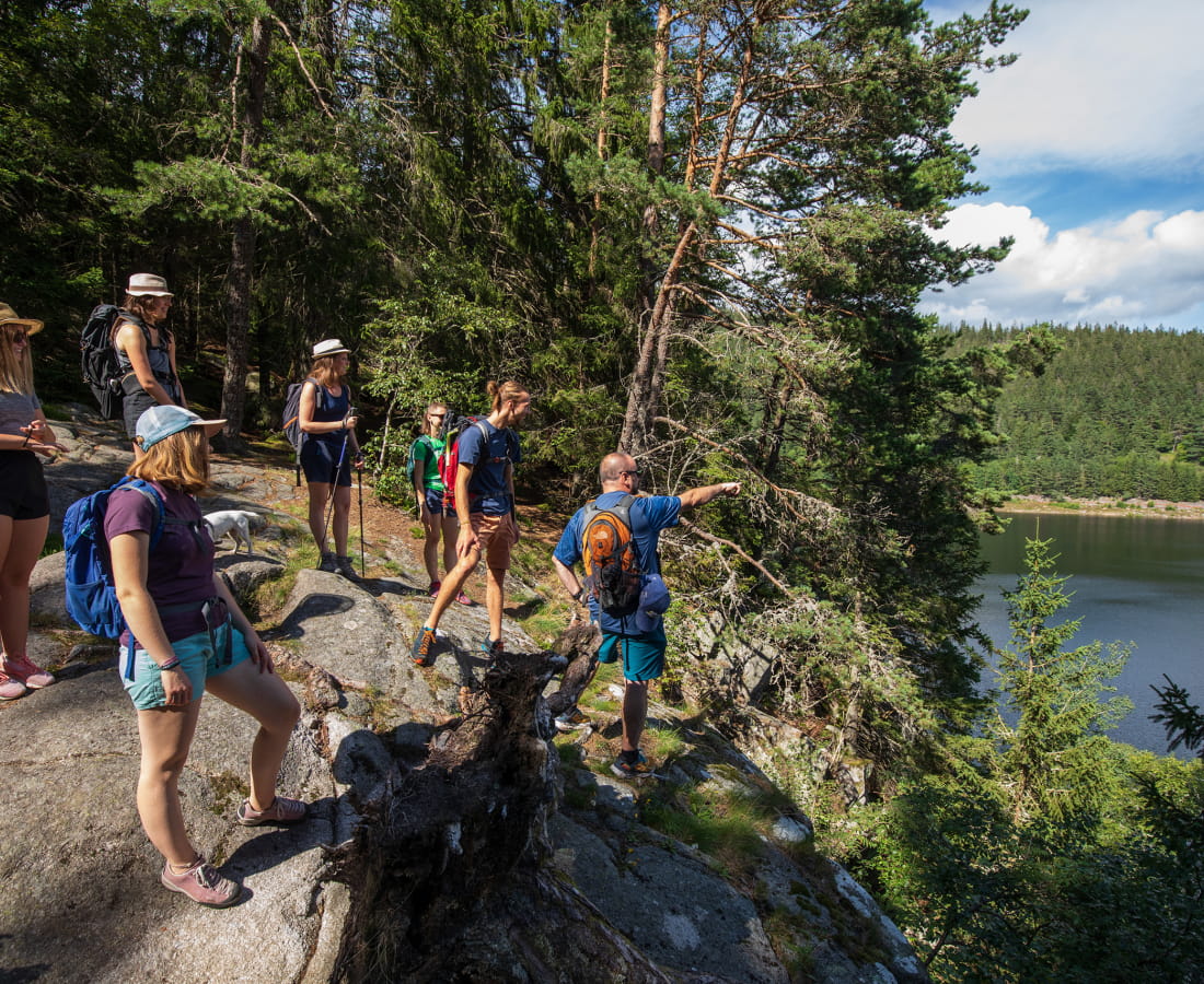
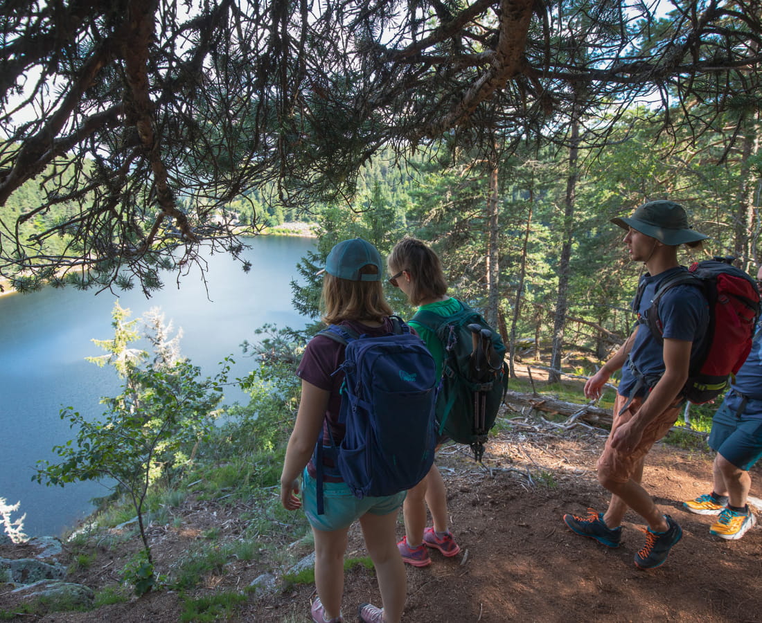
If you're planning to do all or part of the Traversée, make sure you have the stamina for several days' walking and are able to carry a rucksack weighing 15kg (maximum recommended).And don't forget that there's a luggage transport service with La Malle Postale, so you can complete the Traversée du Massif des Vosges with a clear mind..... and a light body!
-
It is advisable to cover the Traversée du Massif des Vosges between May and October.
Part of the Traversée du Massif des Vosges is accessible from March/April. For the higher altitude stages, however, you need to wait for the snow to melt in May before you can access the hiking trails and walk in good conditions. From October onwards, conditions are no longer suitable for safe hiking.
-
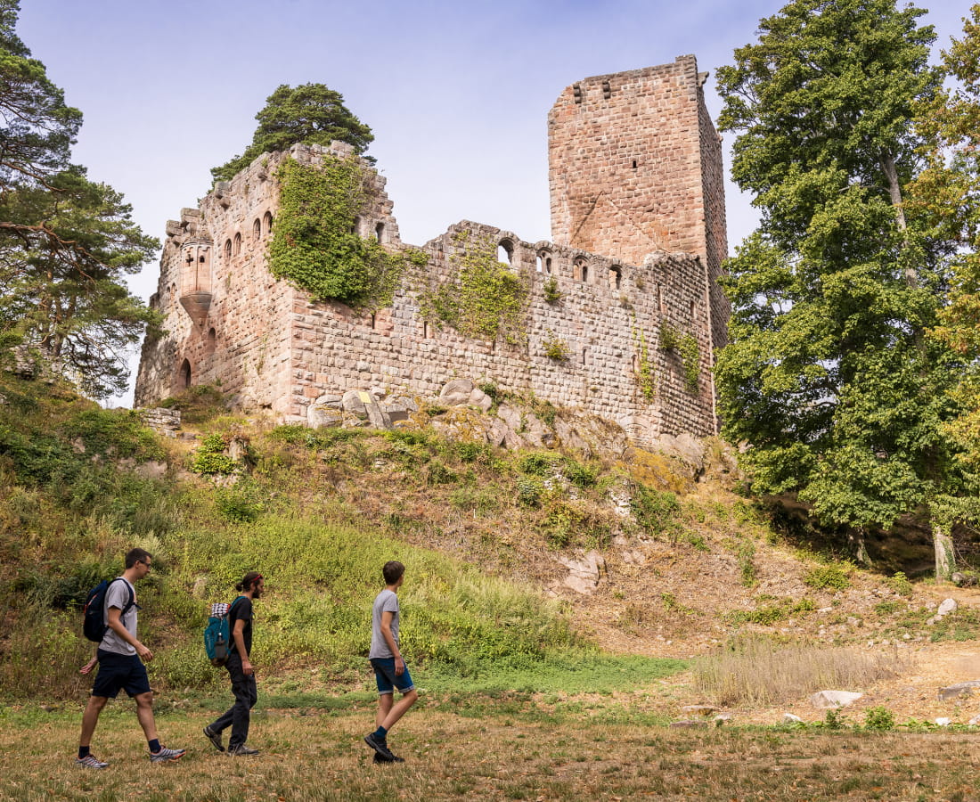
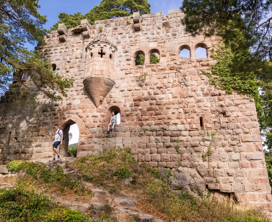
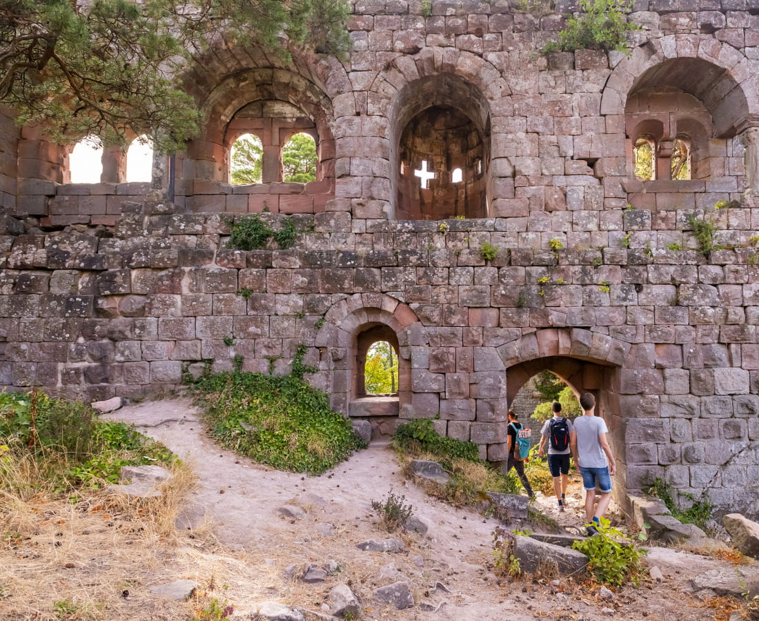
A topoguide dedicated to the Traversée du Massif des Vosges has been co-published by the Fédération Française de la Randonnée and the Club Vosgien. Numerous IGN maps are also available.
-
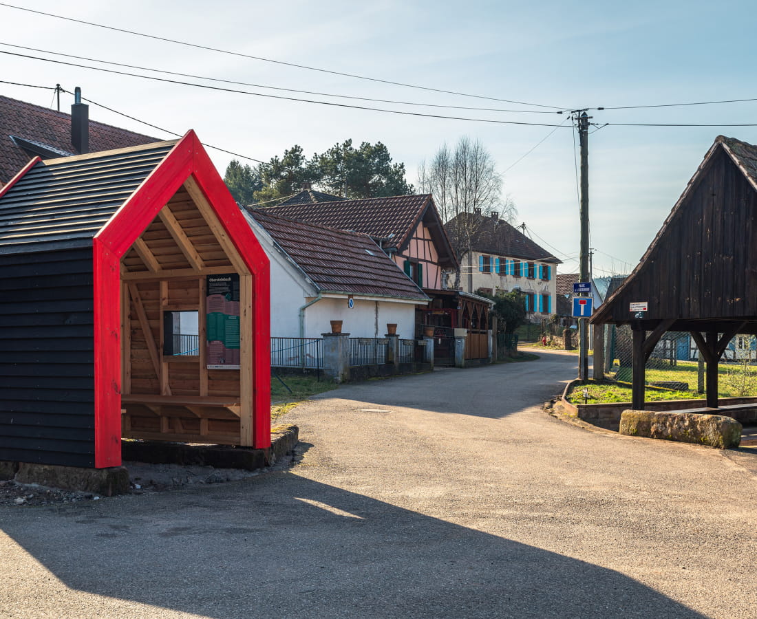
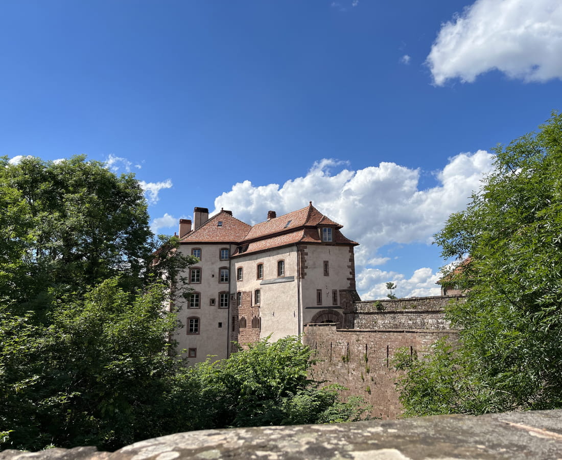
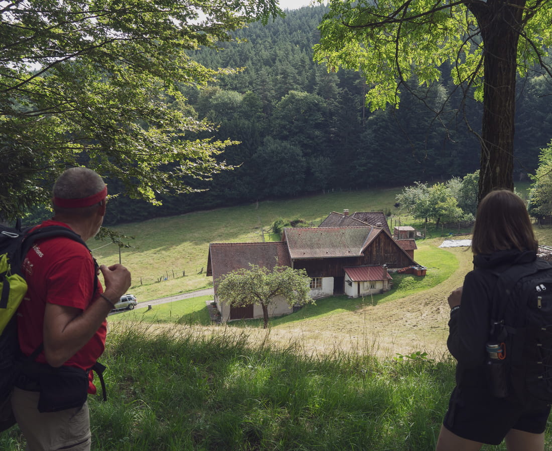
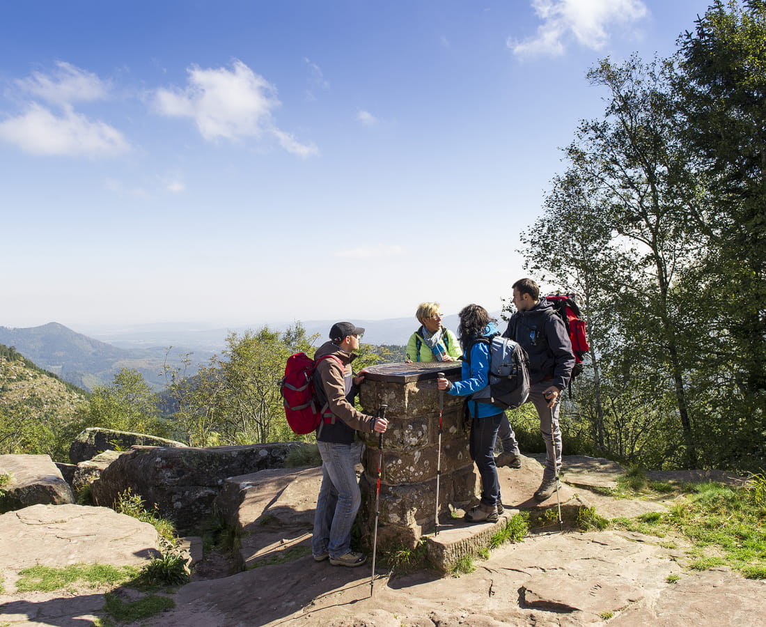
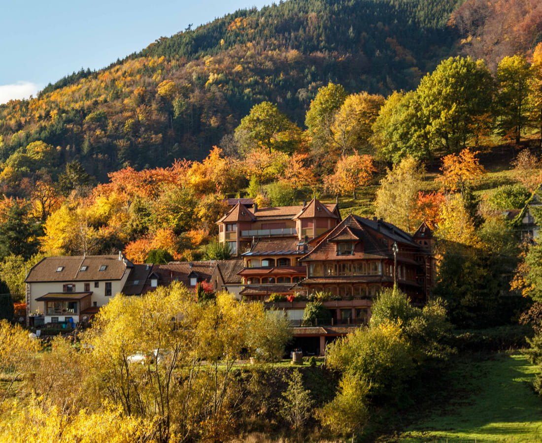
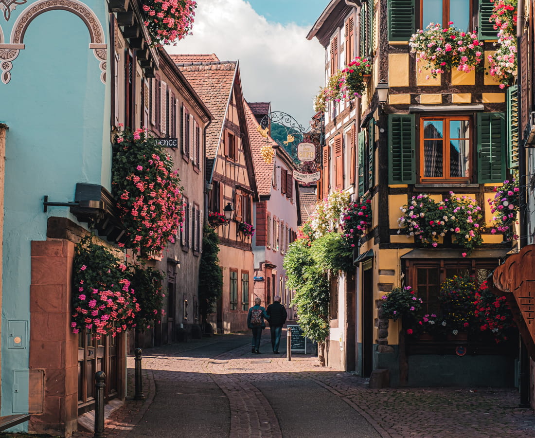
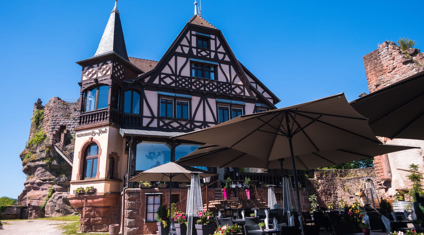
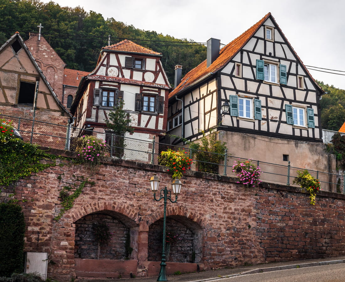
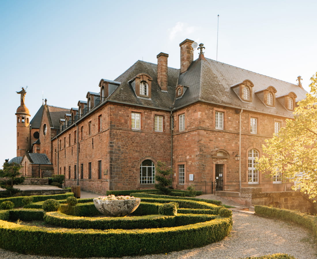
Each stage offers a wide range of accommodation: hotels, bed and breakfasts and mountain refuges. It is advisable to book your accommodation in advance, especially if you plan to do the route in high season.
-
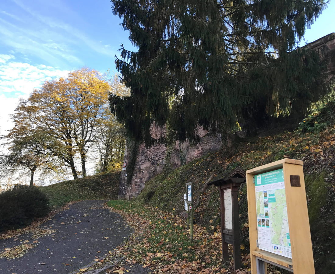
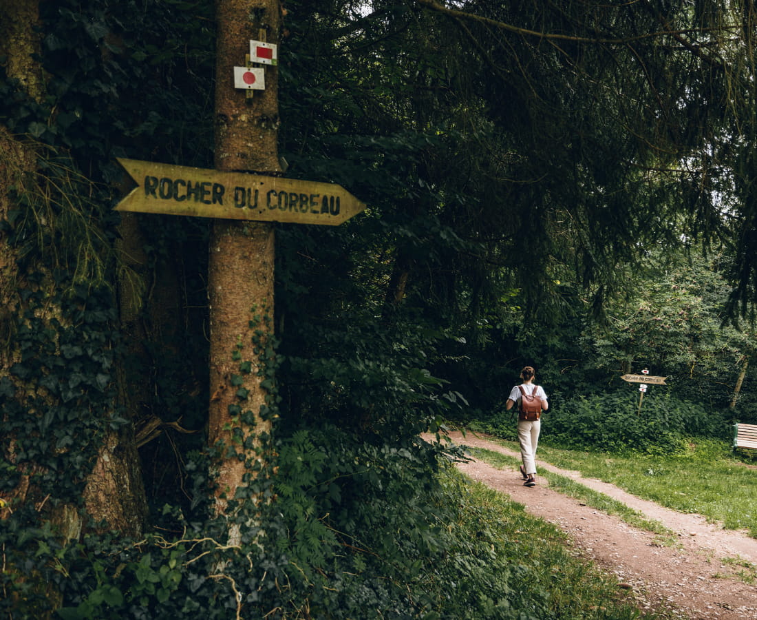
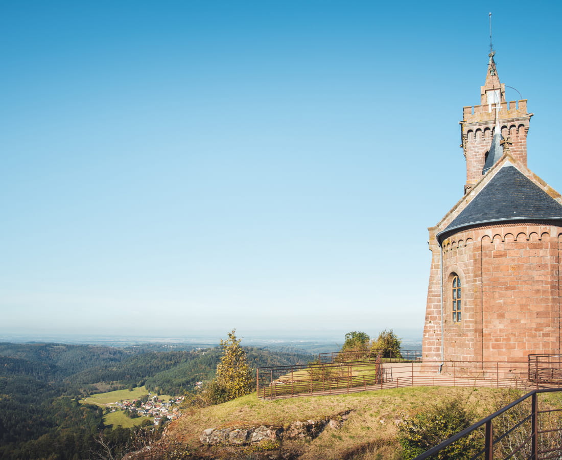
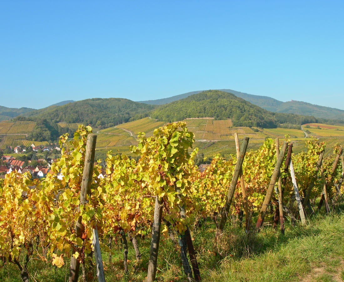
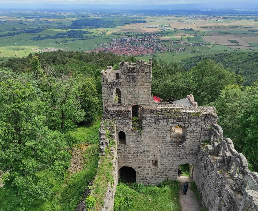
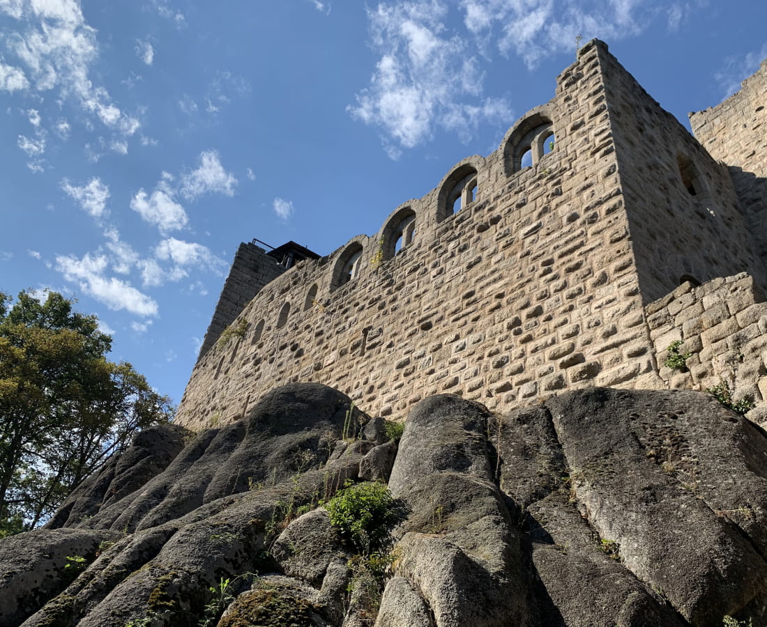
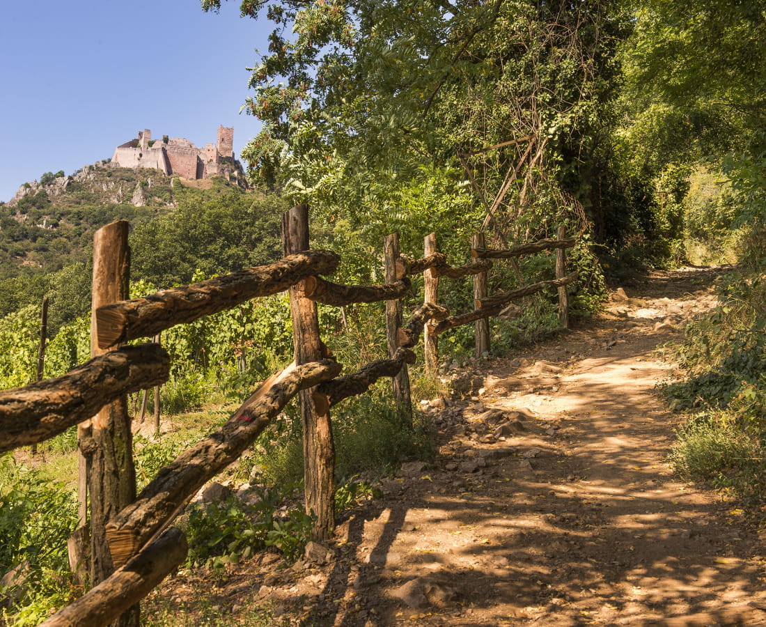
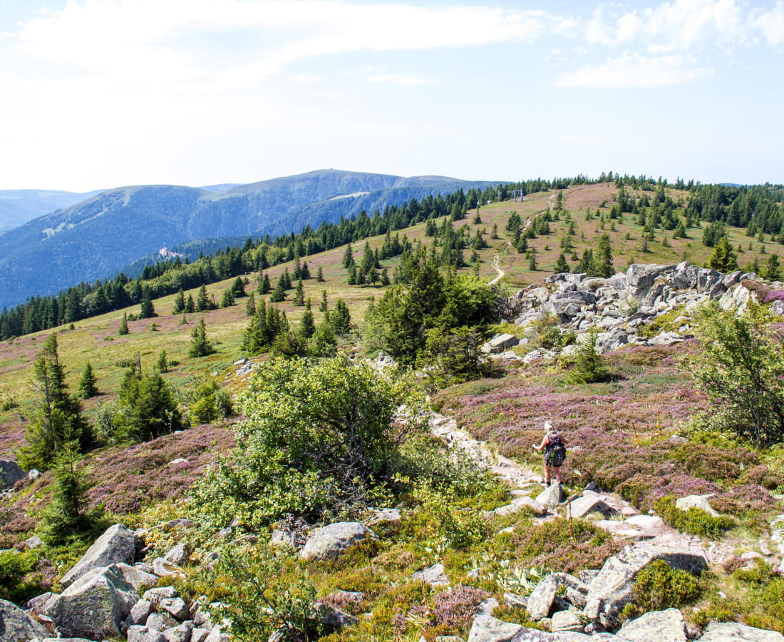
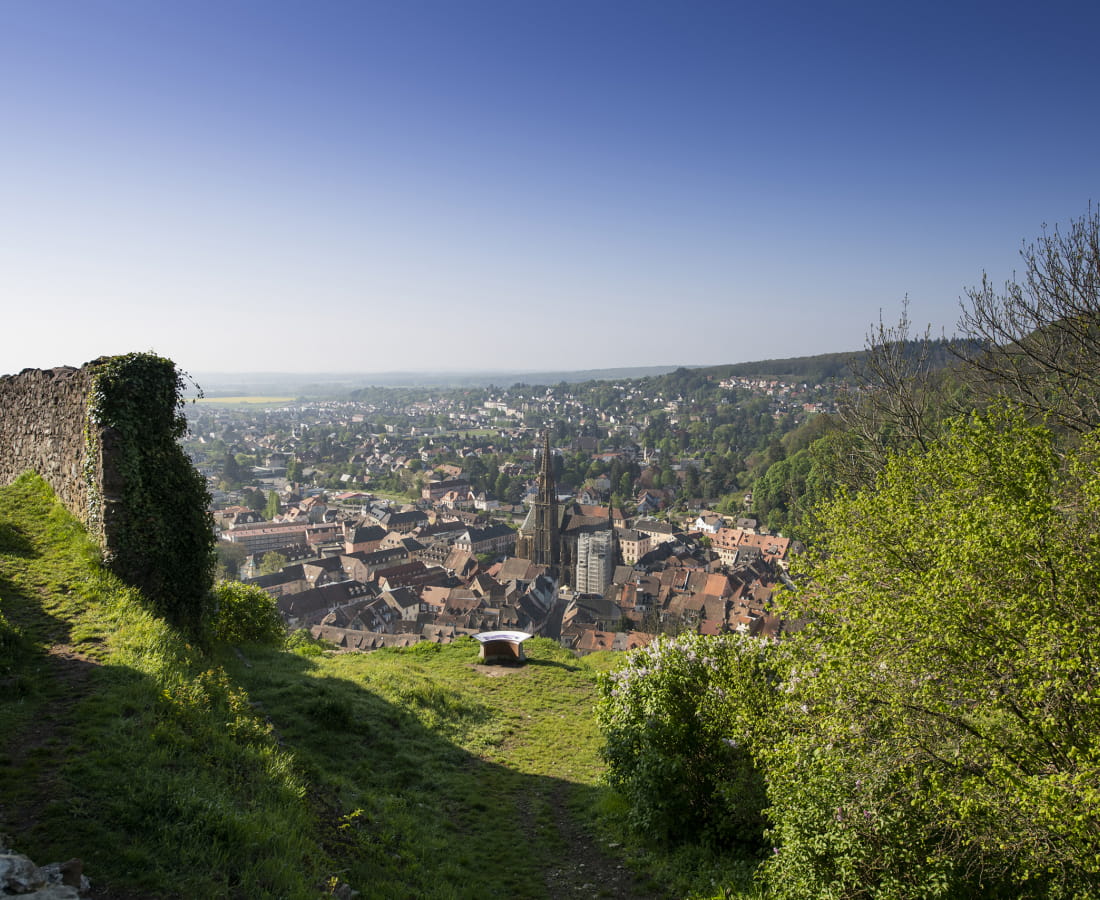
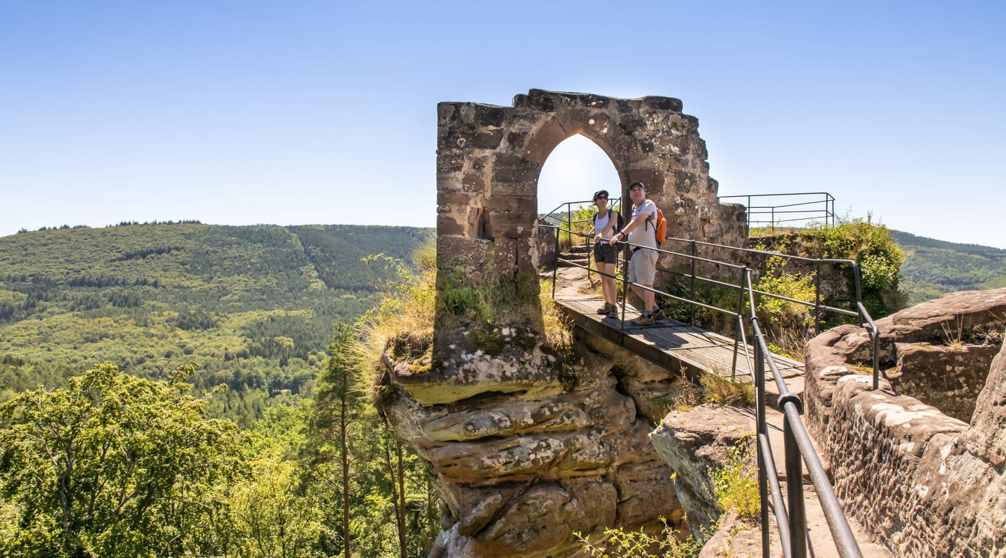
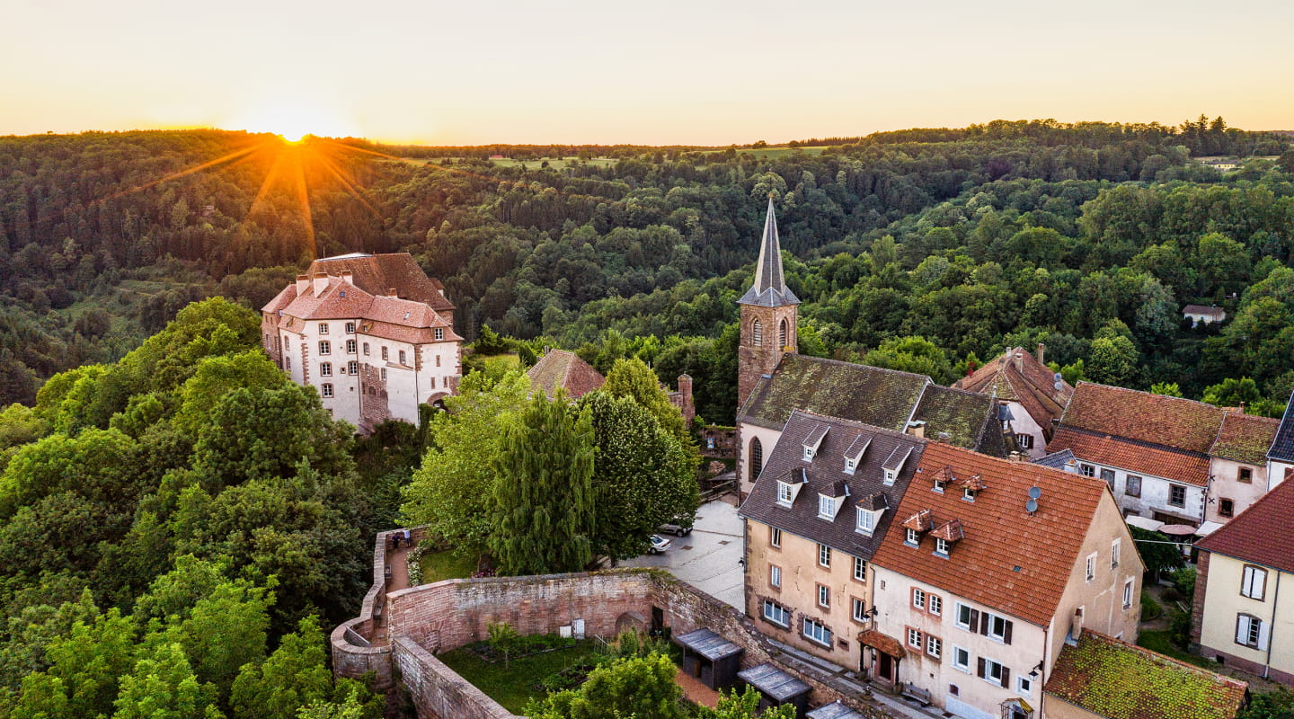
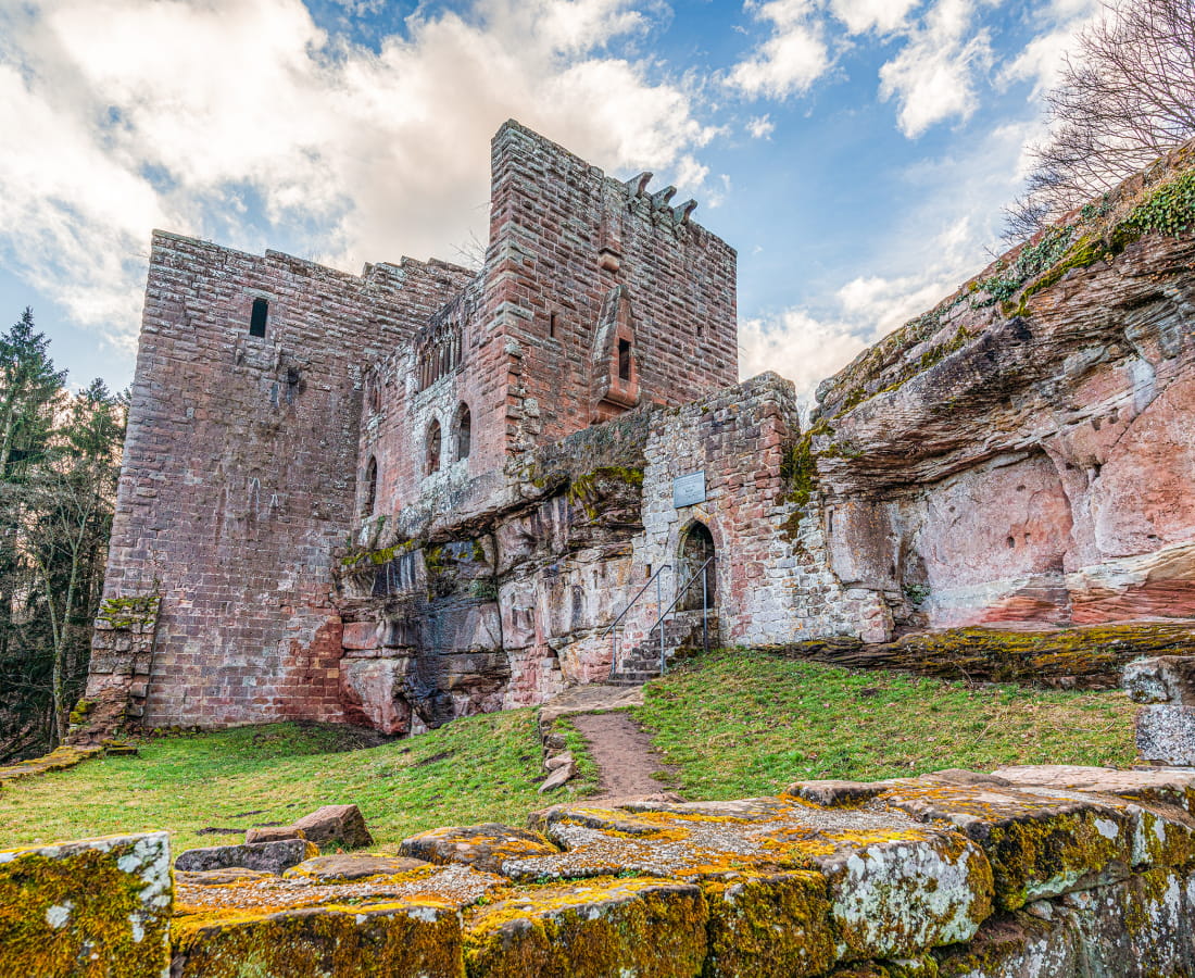
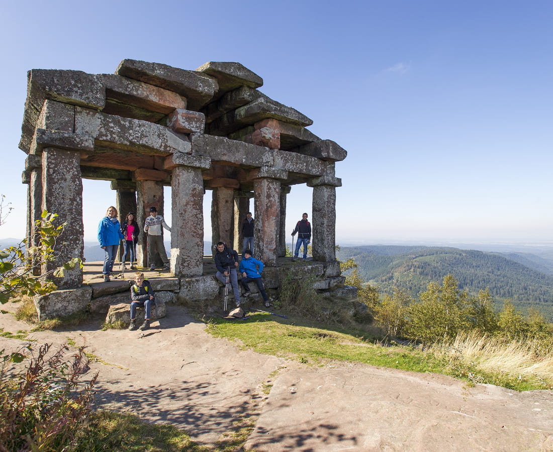
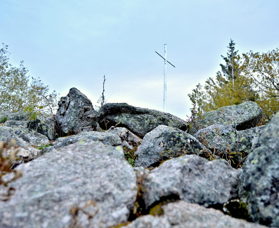
The Traversée du Massif des Vosges has been signposted by the Club Vosgien since 1897. Throughout the 430 km of the route, you will find a red rectangle: red rectangle from Wissembourg to the Ballon d'Alsace, then white-red GR® markings from the Ballon d'Alsace to Belfort. In the northern part of Wissembourg, follow the GR® 53. Further south, at Donon, the GR® 5 is signposted. The GR® 5 is the French section of the European E2 path linking the North Sea (Apach, on the border with Luxembourg in France) to the Mediterranean (Nice).
-
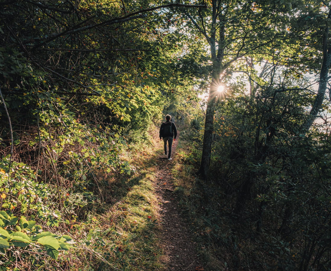
Make sure you wear clothes suited to the season and the weather conditions (cold, heat, damp...). Wear hiking boots suited to the terrain (even for children!). Telescopic poles can be useful to give you greater stability and take the strain off your joints when walking. Don't forget a few snacks and plenty of water: on some sections of the route it may be difficult to find water or refreshment points. Be prepared!
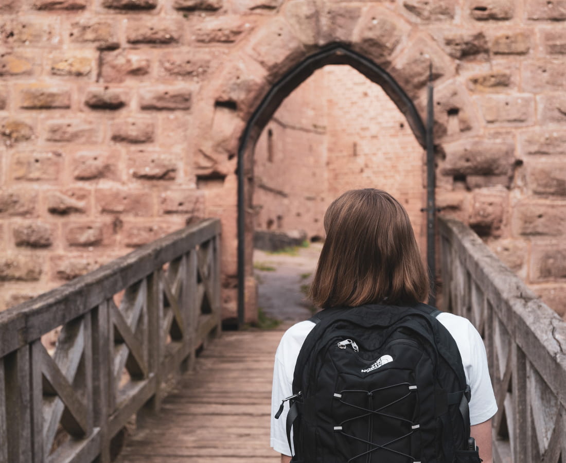
Take along suitable equipment in good condition. Additional equipment such as a headlamp, a complete first-aid kit, a survival blanket and an IGN map will also be useful.
And don't forget your mobile phone and a spare battery.
-
If you want to enjoy hiking, there are a few things you should know:
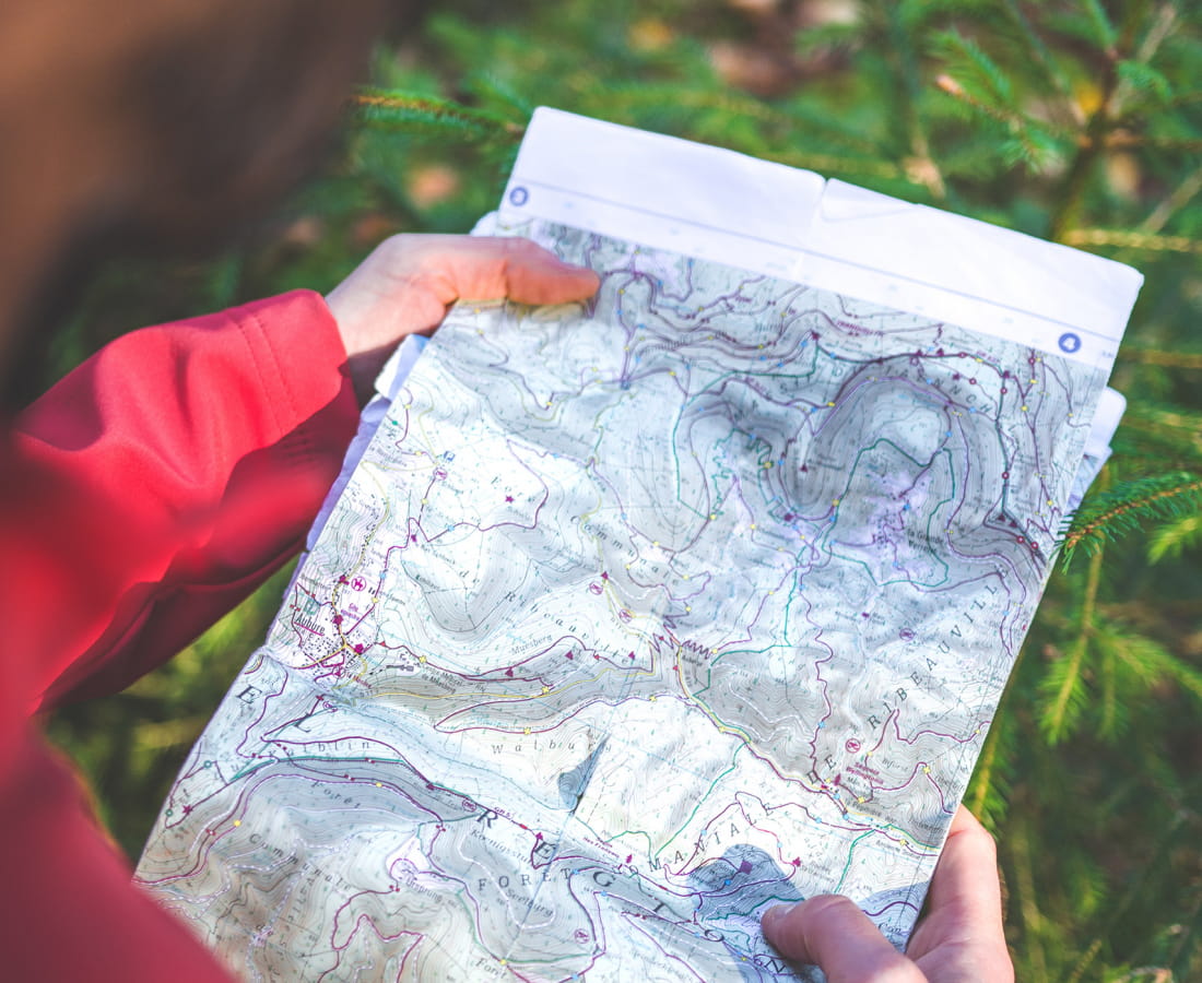
- Find out in advance about the route to be covered, the approach walk, the journey times and the altitude differences.... IGN maps, GPS or topo-guides can help you do this.
- Assess your physical condition and prepare yourself if necessary.
- Find out about the general and local weather conditions and make sure there is no precipitation
- Assess the risks by talking to mountain professionals
- Keep your family and friends informed of your itinerary, and don't hesitate to let them know if there are any changes to your programme. In particular, let them know your departure and return times, the number of participants and the telephone numbers of each, and the car parks where you will be parking if necessary.
- Avoid setting off alone
- Make sure you have the right equipment
-
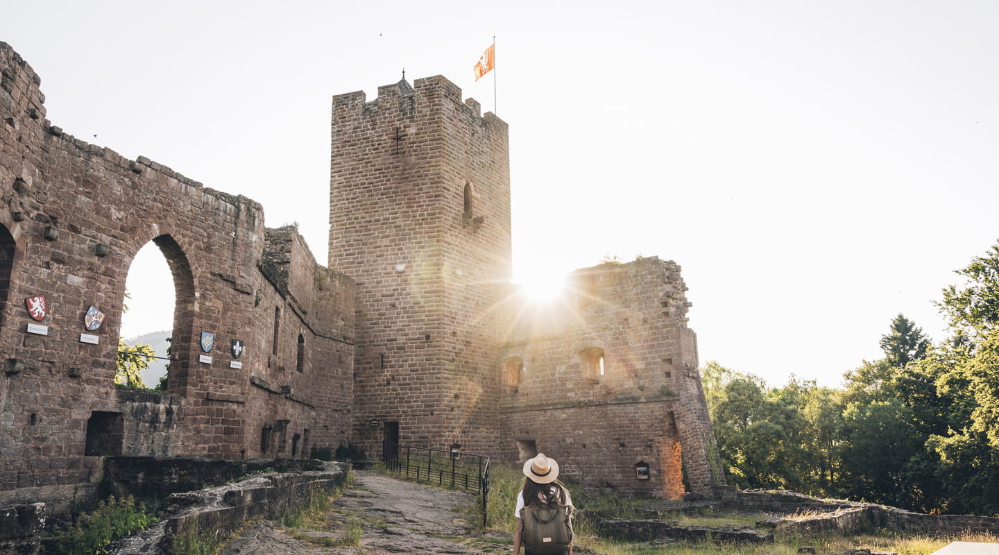
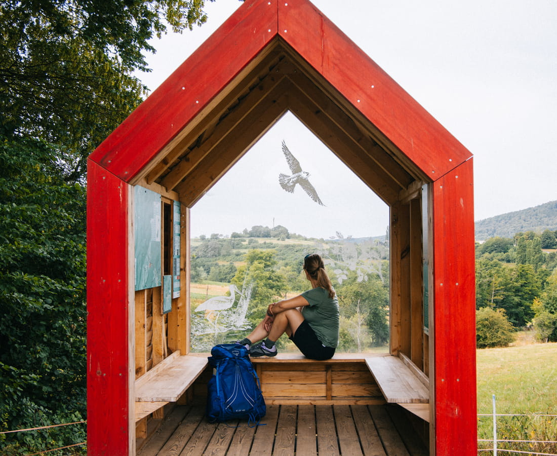
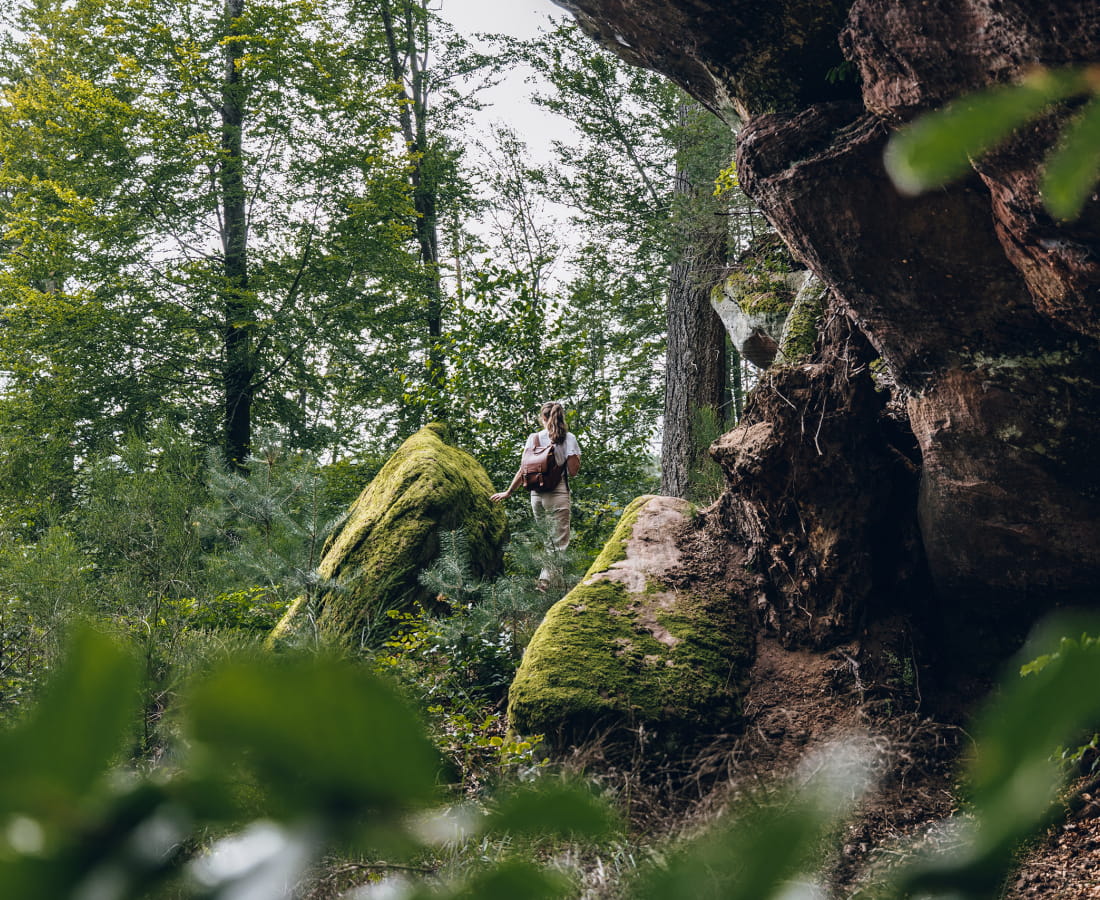
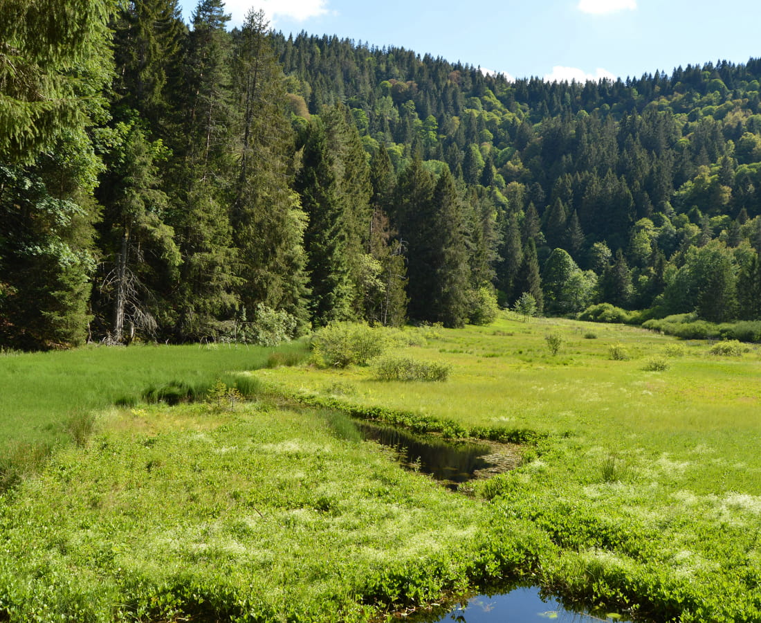
In some cases, you will be riding through protected natural areas where special rules apply. In particular, the route crosses quiet areas to protect wildlife, known as "zones de quiétude". Find out more before you set off and take note of the regulations governing protected areas. Don't stray far from the marked paths and tracks, respect the silence of nature, keep your dog on a lead and give priority to daytime activities. These good habits are part of the "Quiétude attitude" programme developed by the Ballons des Vosges Regional Nature Park.
Be vigilant and respectful of the environment around you.
-
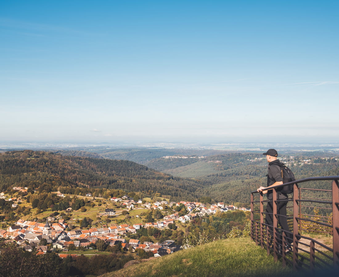
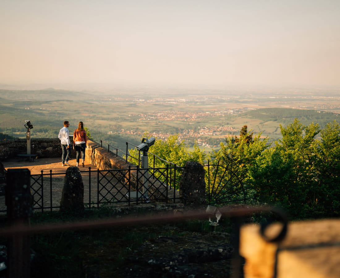
The stages of the Traversée du Massif des Vosges are accessible by public transport, bus or train. Where available, the nearest SNCF stations to the starting points are indicated on each stage. Find out more and plan your journey on the fluo.grandest website. In summer, a shuttle bus runs along the Route des Crêtes.